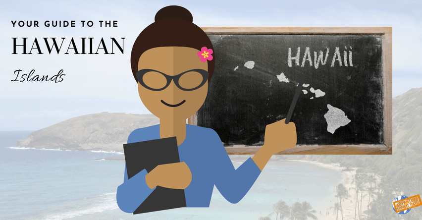
Your Guide to the Hawaiian Islands
Here at Adventure Student Travel, we send several student groups to Hawaii each year, be it for a performance trip, educational extended field trip, or a celebratory senior trip. Each time we put together one of these trips we like to do our part in ensuring your group knows all the ins and outs of the geography of the islands, which is why we have put together this handy little guide to the Hawaiian Islands!

Map of Hawaii state designed in illustration with the counties and the county seats
Here are a few basic facts about the general geography of Hawaii:
- Hawaii is considered to be the world's largest island chain, and the only US state made up of islands. There are 6 total (major) islands.
- These islands are all volcanic, meaning they are made of tectonic plates rubbing over a particularly hot spot beneath earth's crust. The rock melts over the spot turning into magma, eventually breaking through the surface of the earth.
- Mauna Loa's lava fields are so dry that astronauts once used it to practice for lunar voyages. Mount Waialeale (Kauai), on the other hand, is considered to be one of the rainiest spots on earth, sitting at about 385 inches a year.
- Kilauea has been erupting for over 30 years, the lava expanding the land by over 40 acres each year.
- British explorer Captain James Cook was the first European to discover the islands in 1778.
- It is believed that Hawaii has been inhabited since 300 BC, with the earliest settlers being Polynesians from the Marquesas Islands.
- Hawaii is about 2,000 miles southwest of the continental United States, and about 4,000 miles from Japan.
- The Big Island is the largest island, hence the name; however, the island with the highest population is Oahu.
- Leeward: West, Warm, Dry. Windward: East, Wet, Green.
6 Main Hawaiian Islands:
Kauai -

Kauai - Credit The Hawaiian Islands
4th Largest Island
"Garden Island" - Lush green mountains, valleys, falls, caves, and shoreline.
552 square miles
5 Regions: East Side, Lihue, North Shore, South Shore, West Side
Main Geographic Features: Waimea Canyon, Napali Coast, Koke State Park
Oahu -

Oahu - Credit The Hawaiian Islands
3rd Largest Island, 2nd Oldest Island
"Tourist Island" - Home of some of the best beaches and attractions within the Honolulu area (Waikiki).
597 square miles
5 Regions: Leeward Coast, Windward Coast, Honolulu, North Shore, Central Oahu
Main Geographic Features: Waianae Range, Koolau Range, Post shield volcanic outcroppings, Diamond Head, Punchbowl Crater, Koko Head
Molokai -

Molokai - Credit The Hawaiian Islands
5th largest island, only 38 miles long and 10 miles across
"Native Island" - High population of local ancestry and many inaccessible areas for tourists.
260 square miles
3 Regions: Central Molokai, West End, East End
Main Geographic Features: Maunaloa, Kamakoa, Mt Kamakou (highest point4970 ft), Sea cliffs of the North Shore Pali (tallest in the world at 3,900 feet).
Lanai -

Lanai - Credit The Hawaiian Islands
6th Largest Island
"Pineapple Island" - You can still see open fields where pineapple once grew in the plains of the Palawai Basin.
140 square miles, 47 miles coastline
3 Regions: South Lanai, Central Lanai, North Lanai
Main Geographic Features: Hulopoe Bay
Maui -

Maui - Credit The Hawaiian Islands
2nd Largest Island
"Beach Island" - Gorgeous beaches and resorts in West and South Maui.
727 square miles
5 Regions: West Maui, South Maui, Central Maui, East Maui, Upcountry
Main Geographic Feature: Haleakala Volcano (3,000 feet deep and 21 miles around)
Island of Hawaii -

Island of Hawaii with Volcano Updates - Credit The Hawaiian Islands
1st Largest Island, Youngest Island
"The Big Island" - All other islands can fit in this land mass about twice
4,028 square miles
6 Regions: Hamakua Coast, Hilo, Puna, Kau, Kona, Kohala
Main Geographic Features: Maunakea and Maunaloa, Hawaii Volcanoes National Park, Hamakua Coast, Punaluu Beach (black sands), Kīlauea (Click on the map and follow the links to see volcanic activity updates)